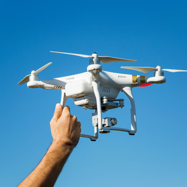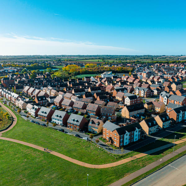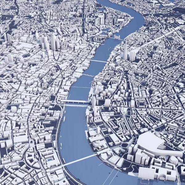
Unlock the power of precision and perspective with Aerial 2D & 3D Mapping by All Around Views, your premier drone services provider in Warrenville, South Carolina. Our cutting-edge drone technology captures high-resolution imagery to create detailed 2D maps and immersive 3D models, perfect for industries like real estate, construction, agriculture, and environmental management.
What sets us apart? It’s our commitment to accuracy and innovation. Our drones are equipped with state-of-the-art sensors and software, ensuring every detail is captured, from topographic nuances to structural intricacies. Whether you're planning a construction project or analyzing land usage, our maps and models provide unparalleled clarity and data-rich insights.
Why choose Aerial 2D & 3D Mapping?
- Efficient Data Collection: Save time and resources with fast and precise aerial surveying.
- Enhanced Decision-Making: Make informed choices with accurate spatial data and realistic 3D visualizations.
- Custom Solutions: We tailor our services to meet your unique project needs.
Experience the future of mapping today. Contact All Around Views for Aerial 2D & 3D Mapping in Warrenville, SC, and elevate your projects with technology that works for you.
📞 Book a consultation and transform your vision into reality!